Structured Map Data From 300+ Airports.
Subscribe to a growing data pool covering 300+ global airports. Get high-quality, standardized indoor geodata — formatted for direct integration into your platform, system, or app.
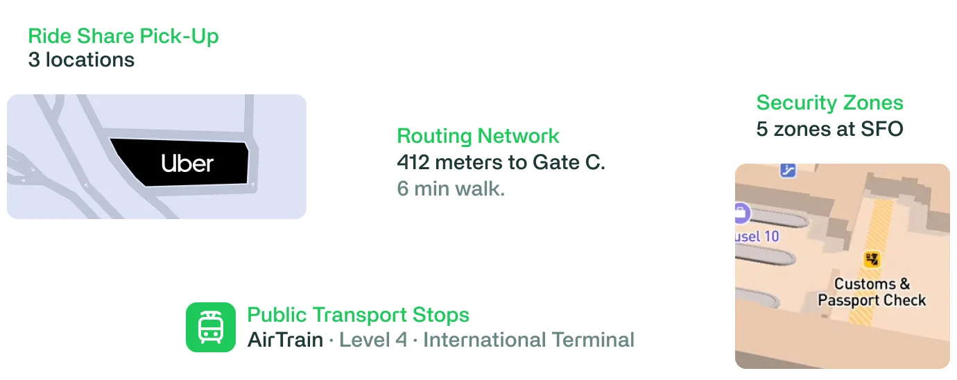

Delivered in data sets like IMDF and GeoJSON, the airport data is structured and ready for ingestion by mapping engines, simulation tools, traveler apps, or operational systems.
Use it to:
— Identify key points like gates, lounges, shops, and more
— Understand terminal layouts with room-level detail
— Determine routes between all POIs
— Classify areas by accessibility, security zones, or usage
— Run spatial aware calculations like time/distance
— Model passenger flow and optimize wayfinding logic
— Feed simulation, AR, or digital twin environments
— Enrich your location intelligence or mobility datasets
— And much, much more...
ATL
·
Hartsfield–Jackson Atlanta International Airport
DXB
·
Dubai International Airport
LHR
·
London Heathrow Airport
DFW
·
Dallas/Fort Worth International Airport
DEN
·
Denver International Airport
IST
·
Istanbul Airport (Turkey)
Get access to see the growing list of airports and the data for each location.
What’s included in the data sets?
Our airport geodata covers a wide range of indoor and terminal-adjacent spatial data — structured and categorized in datasets.

For more info and pricing
talk to Stevie
or
Christine
.